
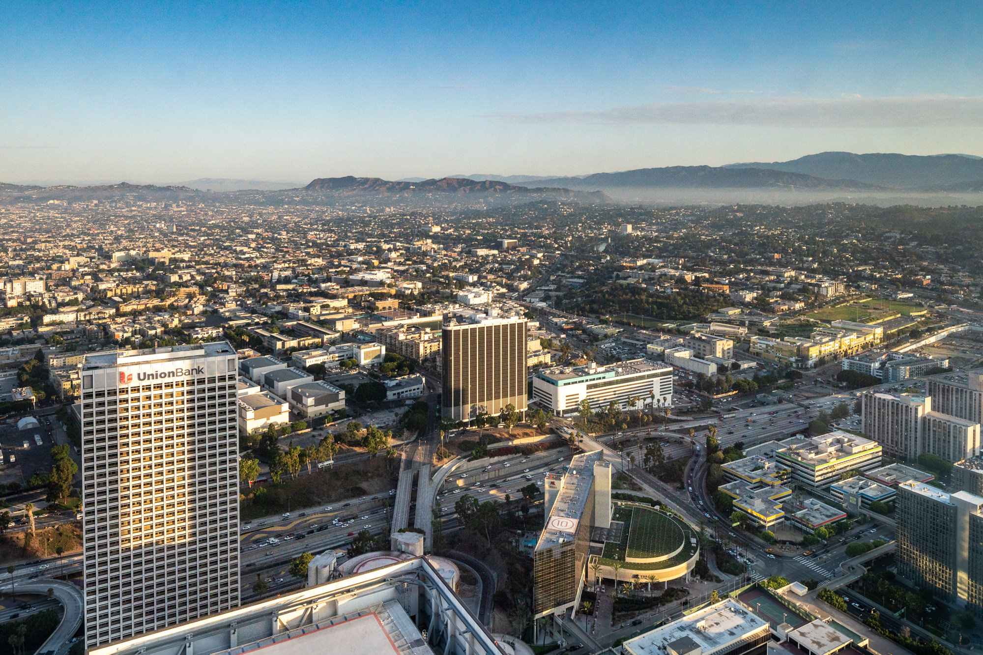
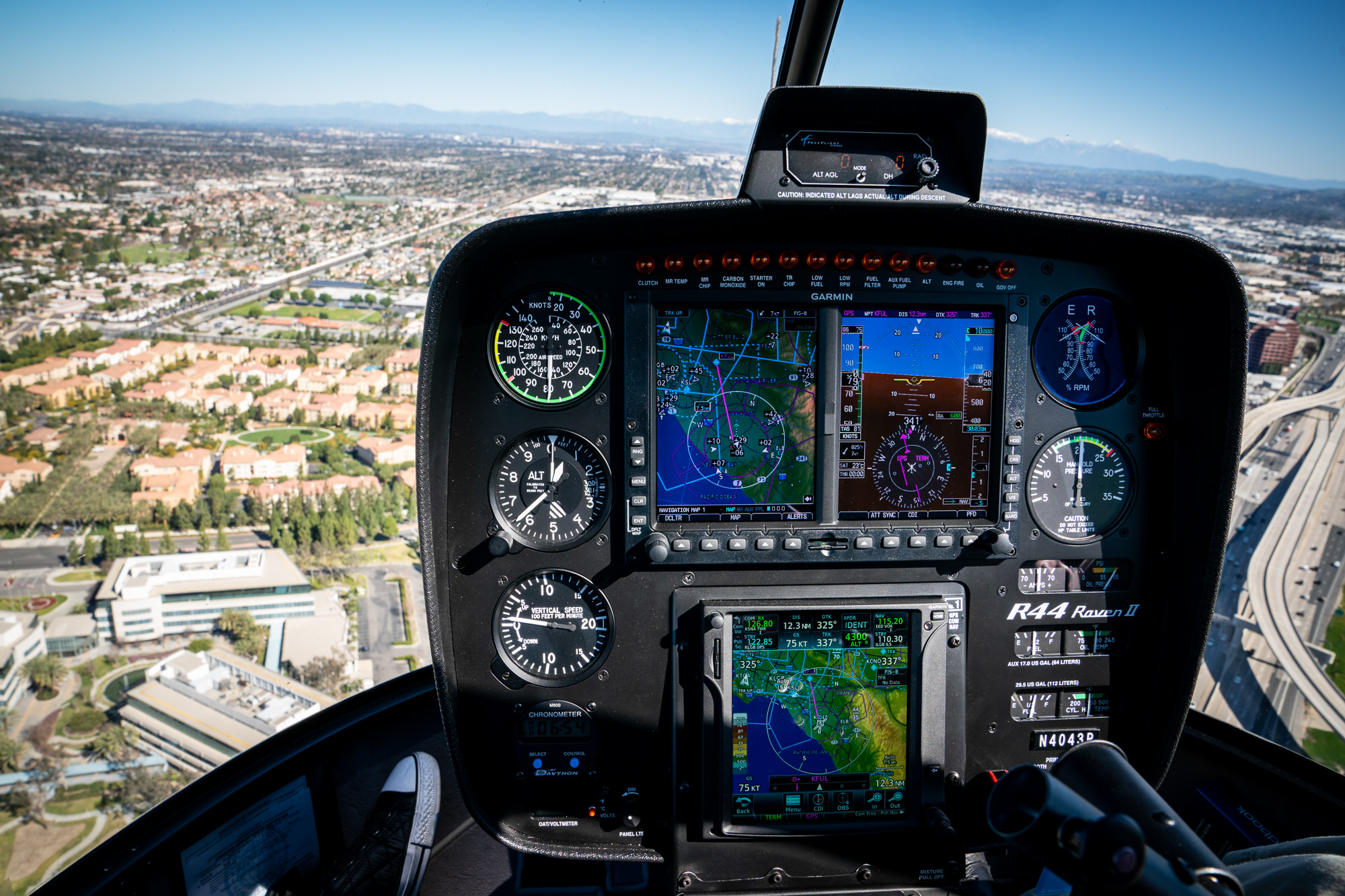
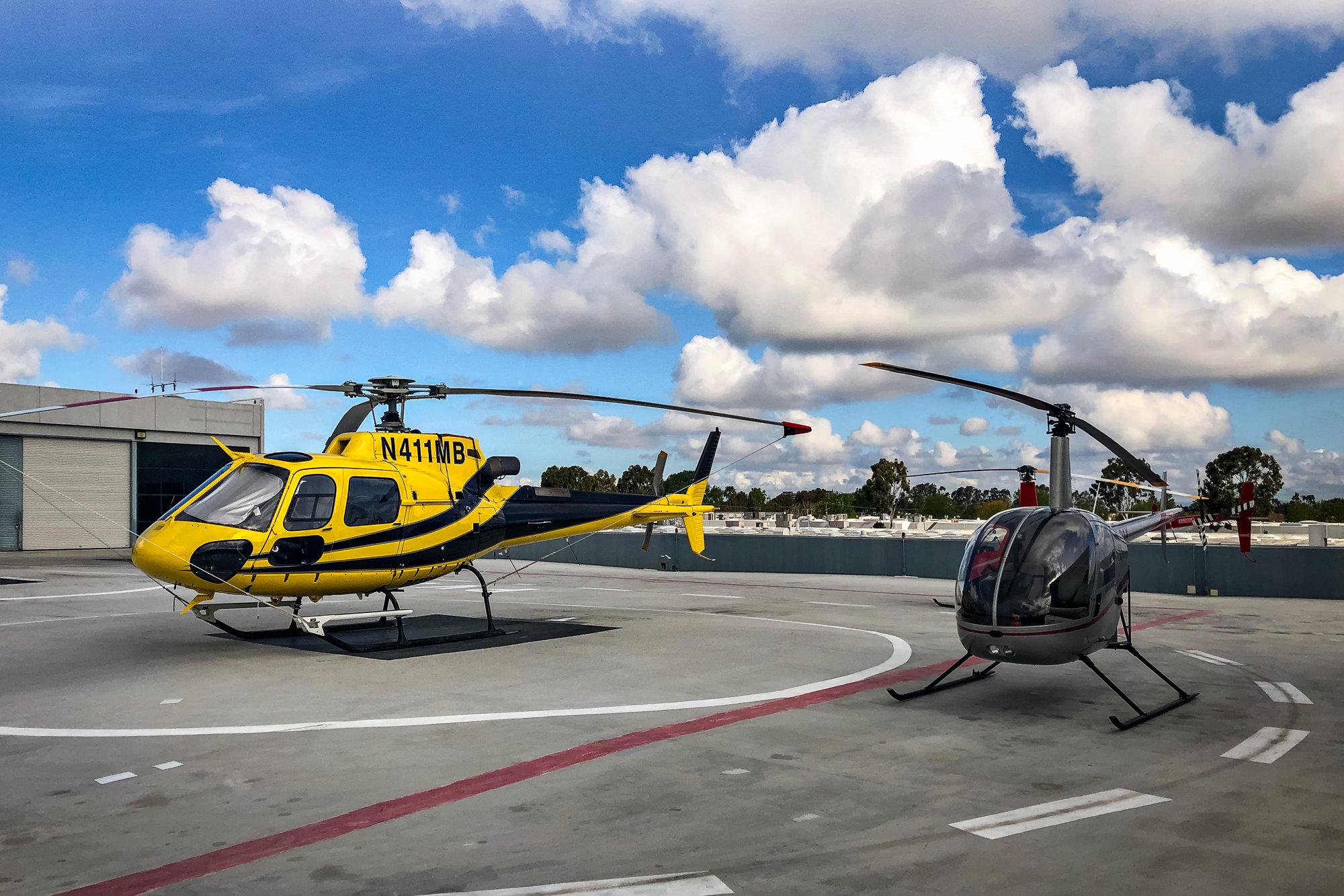
Drones are limited to 400 feet altitude and restricted by FAA no-fly zones, which cover much of coastal Southern California and areas near airports. Helicopter aerial photography offers unrestricted altitude, broader coverage, and the ability to capture properties in controlled airspace. Marc uses both platforms and recommends the best option based on your property location and project requirements.
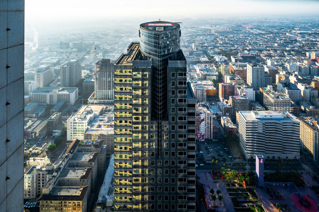
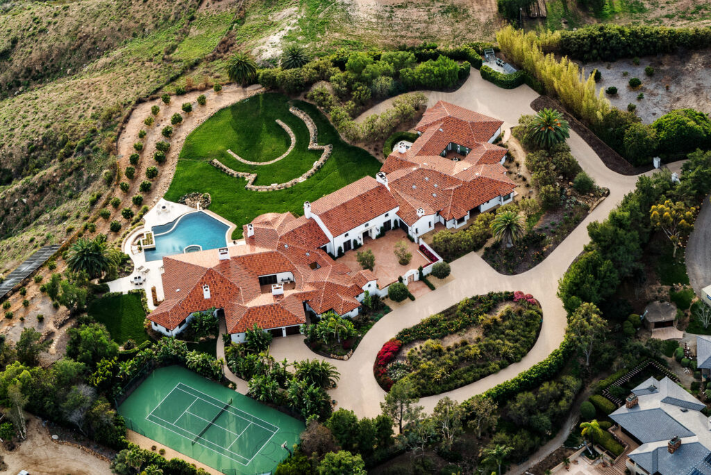
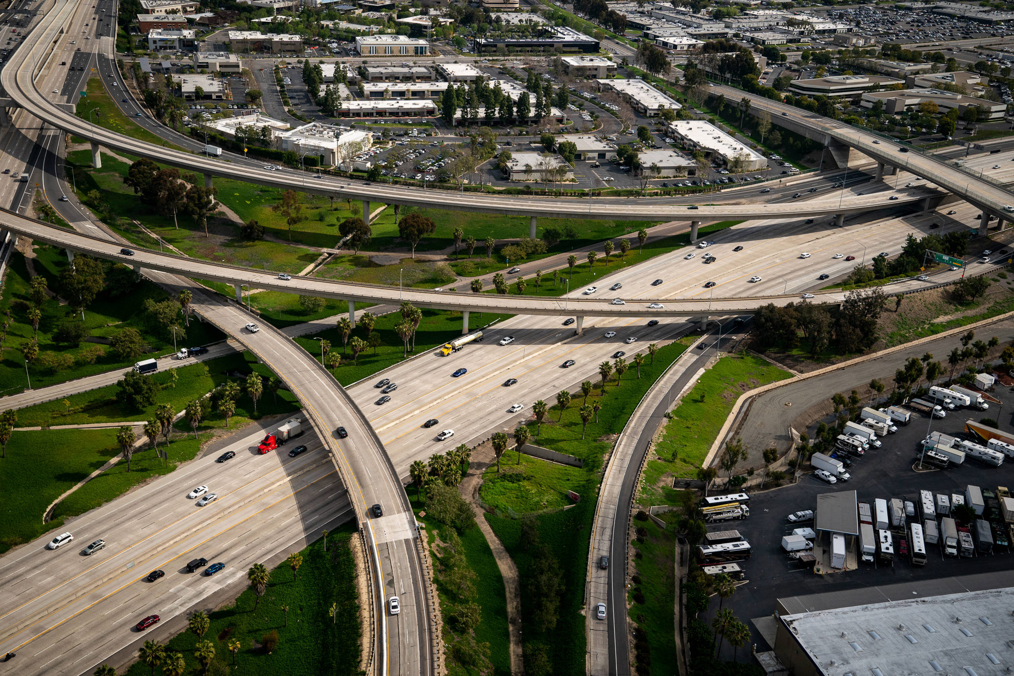
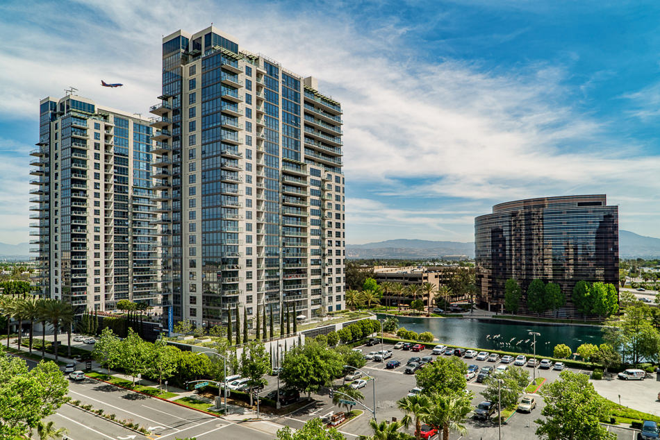
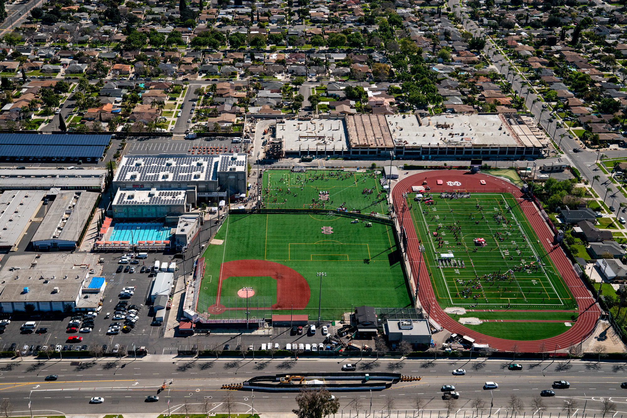
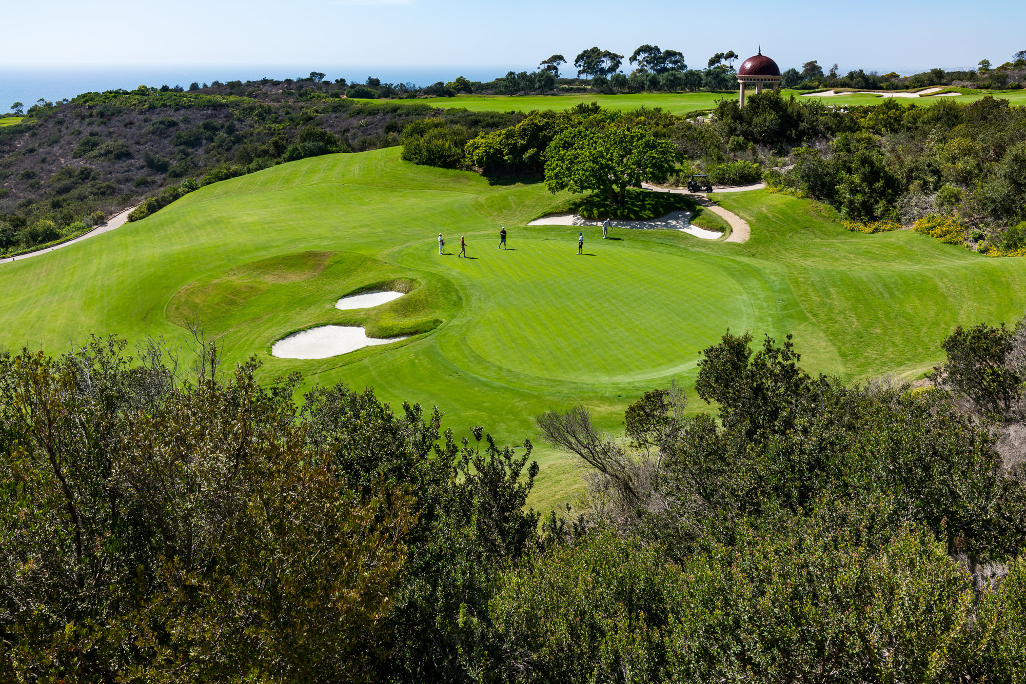
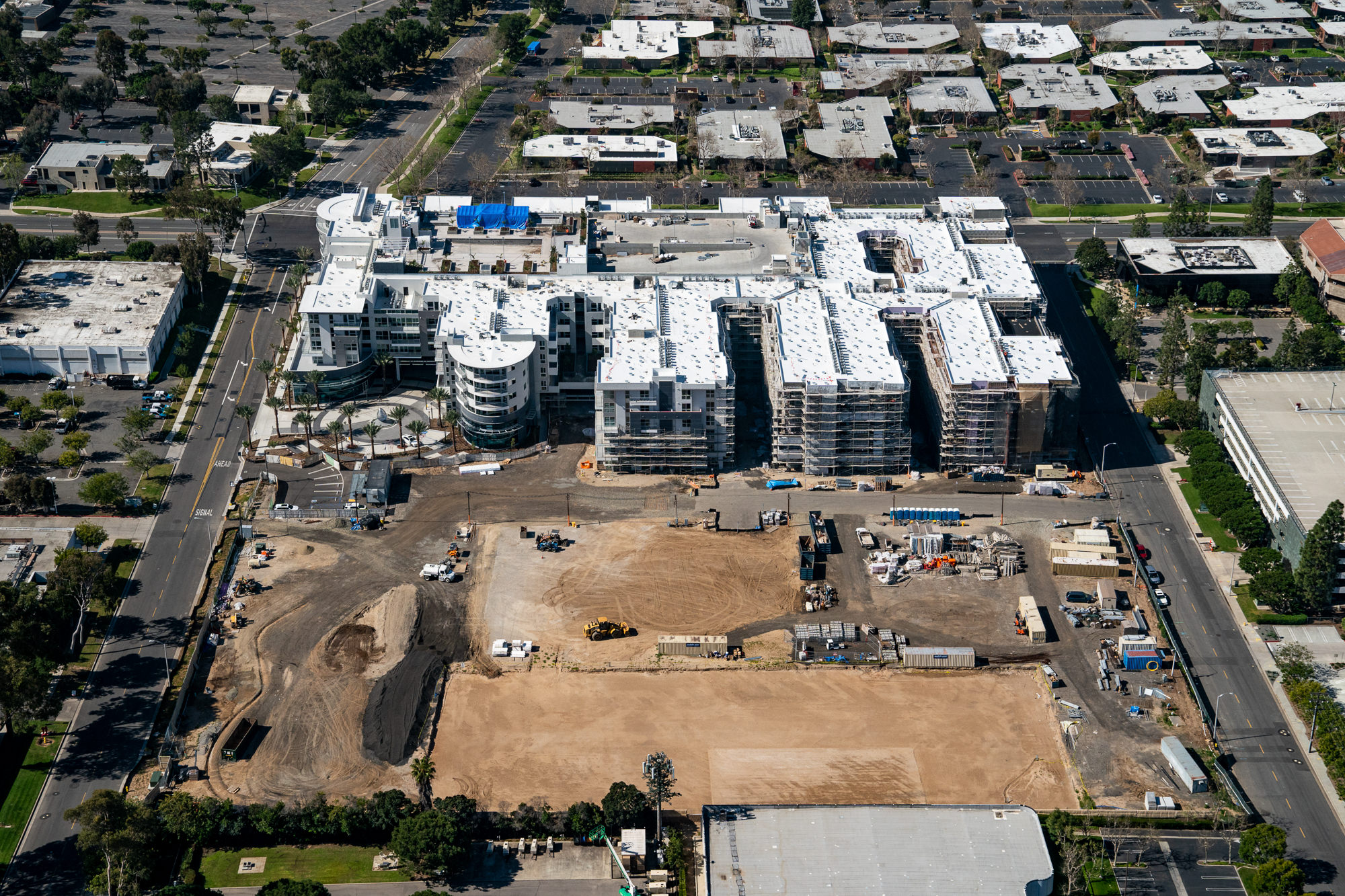
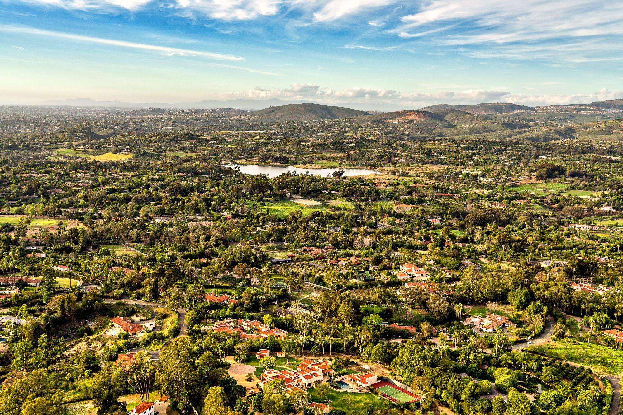
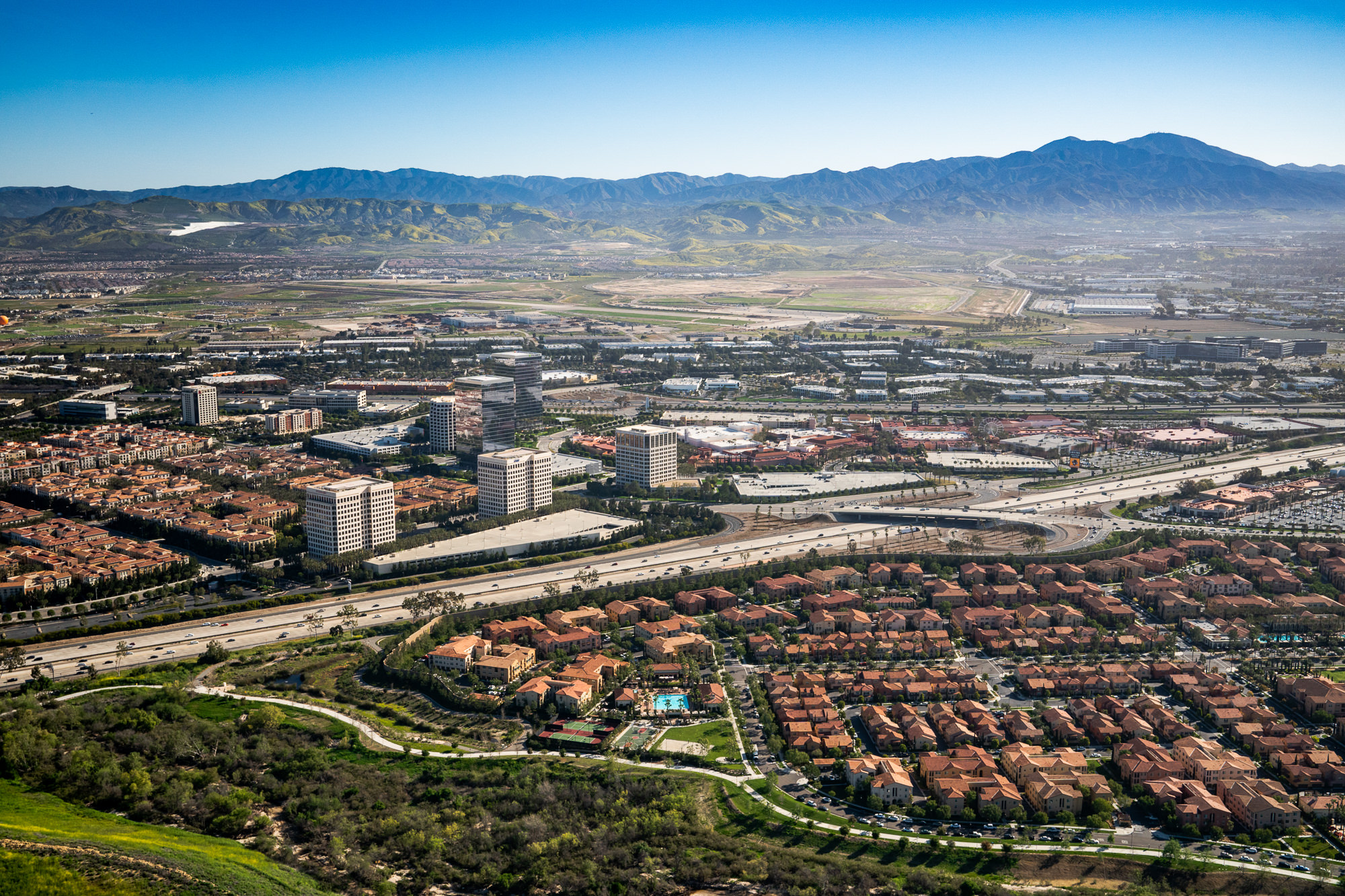
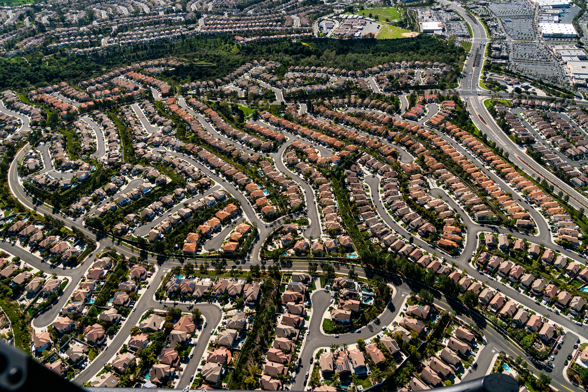
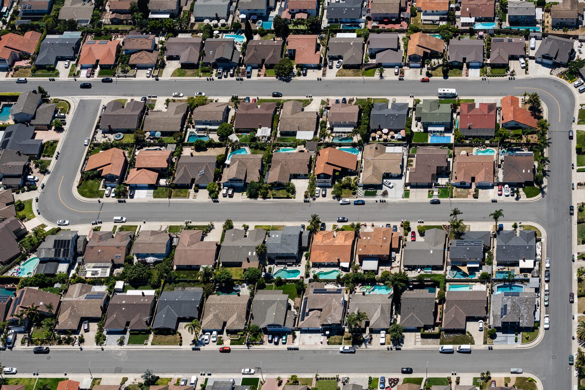
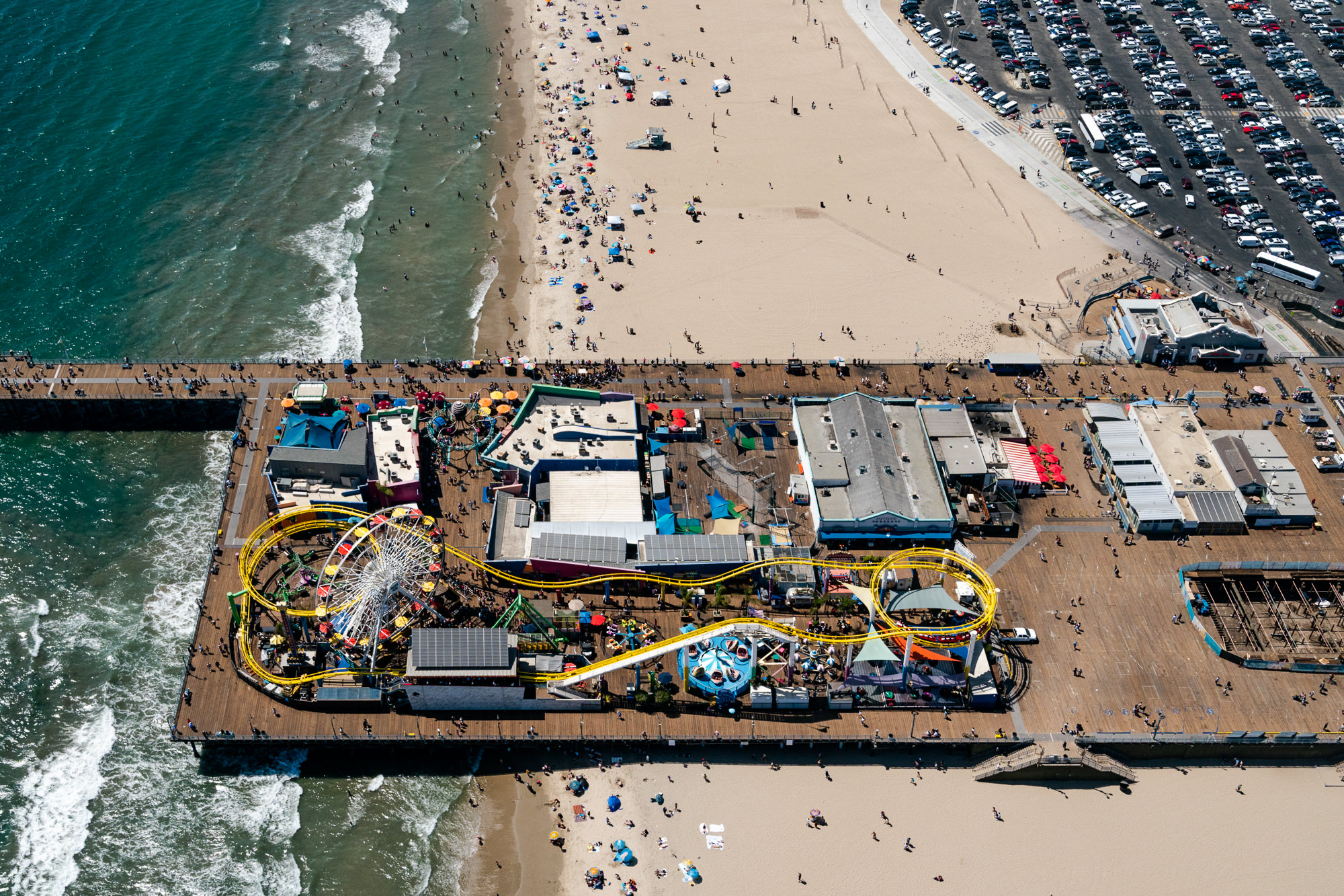
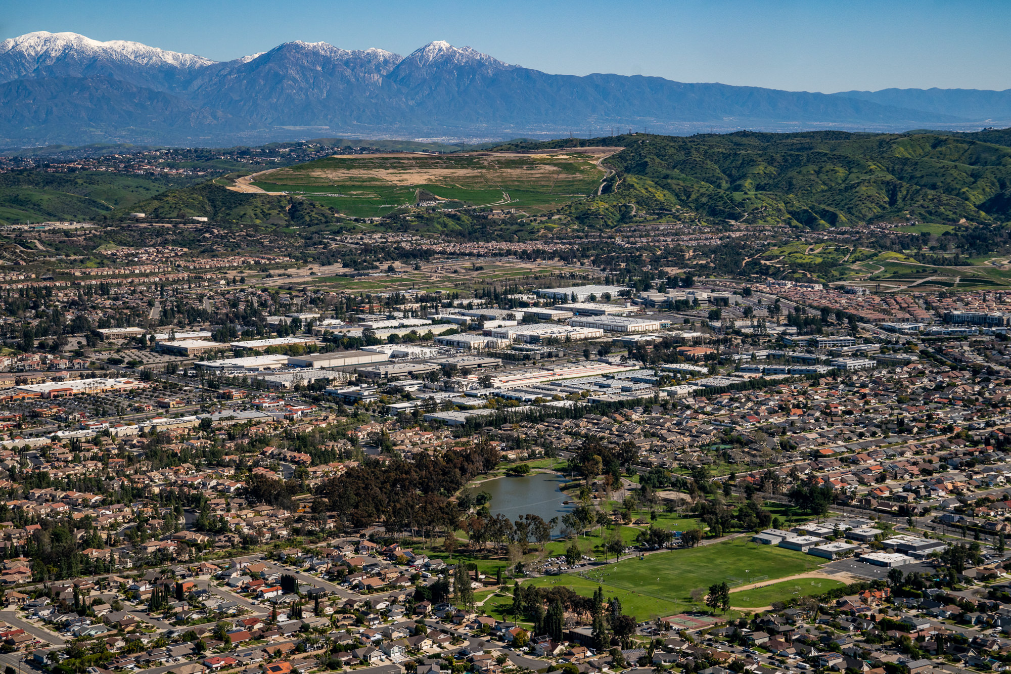
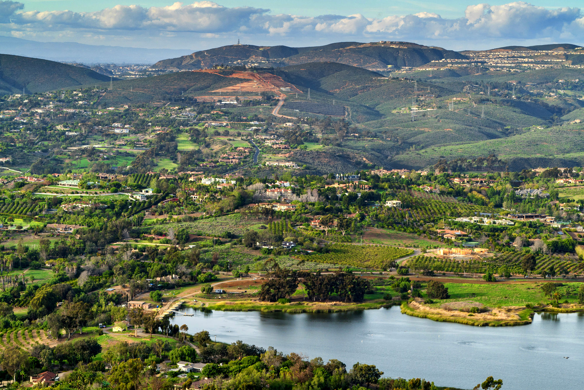
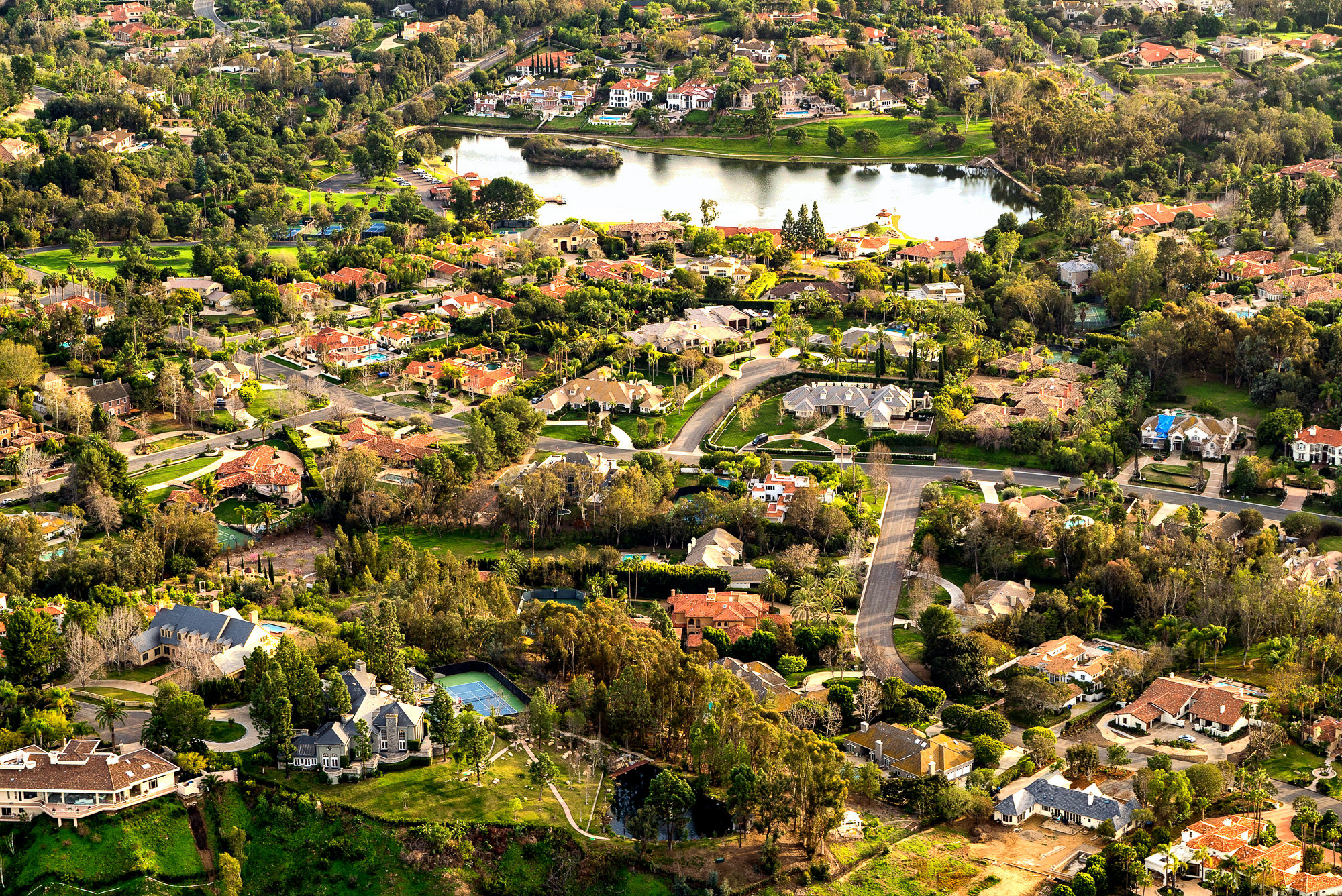
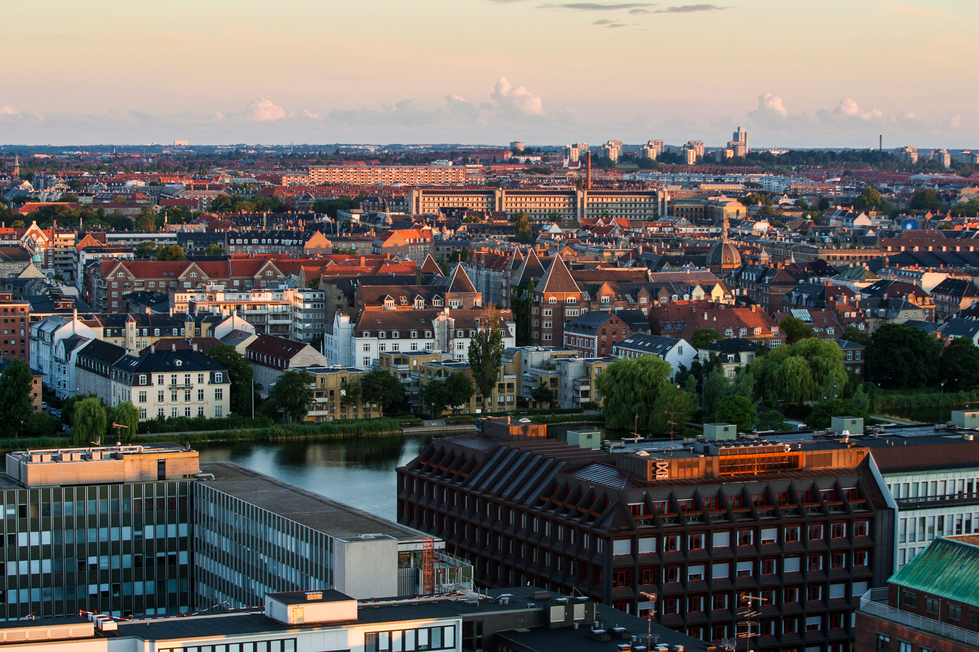
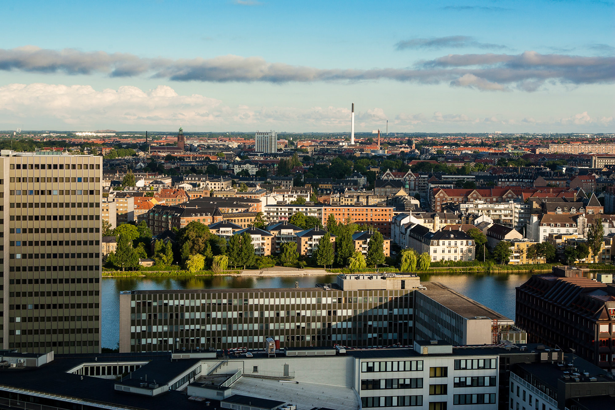
Aerial photography is essential for luxury estates showcasing ocean or canyon views, master-planned communities, commercial developments, construction progress documentation, golf course properties, and any listing where the surrounding environment is a key selling point. Civil engineers and urban planners also use aerial imagery for site assessment and project oversight.
Helicopter sessions require 5 to 7 business days advance booking for scheduling and flight planning. Drone sessions can often be arranged within 2 to 3 business days. Weather conditions affect scheduling, so Marc builds flexibility into the timeline to ensure optimal shooting conditions.
Yes. Marc offers both aerial photography and cinematic aerial video for real estate marketing, construction documentation, and commercial projects. Aerial video is delivered in 4K resolution and can be incorporated into property marketing films and virtual tours.